



Table of Contents
Author | Patricia LicerasLarge cities are usually characterised by a dynamism that conceals highly complex social structures and services. One only has to think of the millions of people living in large cities, or of schools, offices, shops, hospitals or transport systems. Any changes to these aspects affect many others. That is why the work of urban planners is so complicated.However, thanks to Big Data, the Internet of Things, cloud computing and virtual reality, it is now possible to transfer the complicated system of a city to the digital world, enabling town planners to test solutions without taking too many risks. This is the case in the city-state of Singapore, a continuous urban laboratory and world innovation centre, where experts are working with its digital twin.
Semantic 3D modelling for an exact virtual copy
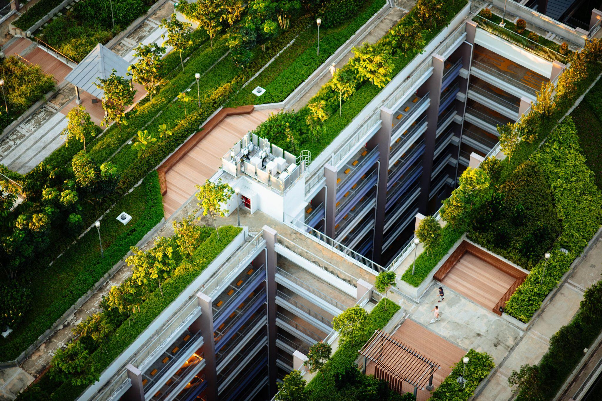
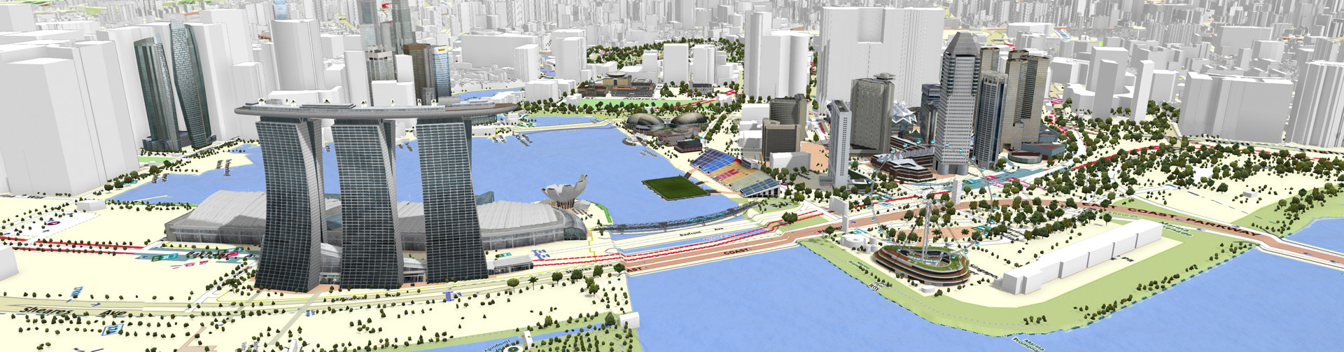
Virtual Singapore, created by the National Research Foundation (NRF), is a government department that offers 3D semantic modelling, in which the meaning of data can be related to the real world, displaying land attributes or the characteristics of different forms of transport, or the components of buildings and infrastructures.And, apart from typical map and land data, the platform also incorporates other real-time dynamics, as well as information about demographics, climate or traffic, making it a tool that offers enormous potential and which can be used in many different ways.Therefore, representations using 3D semantic modelling are capable of displaying roads, kerbs or stairs, just as they are, which is essential for designing different ways of improving the accessibility of a specific area, testing these and keeping those that provide the best results without carrying out any construction work.Given its features, Virtual Singapore is also useful for simulating emergency situations in stadiums or shopping centres and establishing the most suitable evacuation protocols. It is also a useful tool for analysing the different forms of transport and pedestrian movement patterns, in order to adjust to their real requirements.On site, those responsible for town-planning in the district of Yuhua, are already using this tool to visualise various options for designing a pedestrian bridge over one of its main roads and seeing how it could be integrated with the region’s existing park.The platform is also providing real-time monitoring of the Greenprint Project, the sustainable district created in Yuhua with the introduction of solar panels, LED lights, pneumatic waste conveyance systems and pedestrian and cyclist networks. This tool not only monitors, but also provides an insight into how it could be applied in other districts, highlighting the possibilities and benefits based on the characteristics of each district.
A “global vision” for designing better urban centres
“Normally, when we make decisions about the evolution of a city, we do so somewhat blindly”, Bernard Charles, CEO of Dassault Systèmes, the French company that developed the Virtual Singapore software, revealed. “You have an urban view -a map- and you decide to place a building in a specific area, but another branch needs to think about transport and another about commercial uses and housing for people”, he pointed out. Virtual Singapore provides architects and engineers with “a global vision” according to Charles, facilitating “a common and holistic approach”.However, its greatest potential is yet to come. This prosperous city-state, with a population of less than six million, enables the public and private sectors to use the platform, together with researchers and civil society members, to develop applications and to conduct concept testing, which will most certainly serve to improve the quality of life in these symbiotic entities, that are dynamic and complex cities.Images | Dassault Systèmes